How to hike smart and eco in Sibiu County, Romania
Romania has quite a lot of hiking trails and you can choose from any of them, but this time I’ll focus on the ones in Sibiu County.
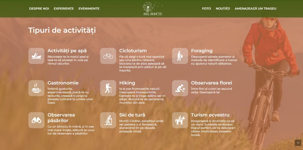
These trails, 54 of them to be more precise, and all the information you need about them are available on the Anii Drumetiei app (Hiking years), as well as on their website.
This app is actually part of a program initiated by the Sibiu County Council, which aims to promote the activity specific to ecotourism and improve the hiking infrastructure in the county. Therefore, the platform centralises and promotes hiking trails, sustainable tourism operators and events in Sibiu County.
The app centralises key information on 54 hiking trails, of which 45 are approved hiking trails in the Făgăraș and Cindrel Mountains and 9 non-approved trails – cycling trails already practiced by the general public as such, suitable routes on the Olt Hill for activities on water and bird watching, 4 equestrian routes around the riding centers of Apos, Prod and Șelimbăr.

How does it work
The application offers you the opportunity to choose the desired route amongst different categories (hiking, cycling, horse riding, water routes etc.), with different difficulty levels.
Many other attributes allow an even more precise selection, such as family-friendly routes, accessibility with strollers or the existence, near the starting point, of public transport.
Once the route is selected, you are shown all the information necessary to travel safely, starting from distance and estimated duration, altitude profile, type of roads to height profile and professional weather information.
Plus, the application offers audio directions for navigating the chosen route, thus eliminating the need to consult the map periodically.
Even though I don’t hike that much, I love to travel in Romania in remote places, to experience the local cuisine, nature and interact with the locals. What I like about this app is that you can also check what restaurants and accommodation options you have on a certain route, including their phone number so you can call them directly.

Reported dangers on the trails
The app’s functionalities also allow you to report problems encountered on a route. Thus, if undocumented obstacles appear on the route (for example, damage to the path due to a landslide or a bridge taken by a flood) you can report that problem from the application. And of course, if someone else reported a problem, you will be able to see it and avoid it.

Offline mode
Even though in Romania, the internet connection is quite good, in secluded areas, there might be issues. Therefore, the application can also be used in offline mode.
All routes and points of interest can be downloaded to the phone, thus eliminating the need for an internet connection.
It can be used on both iOS and Android and can be downloaded from Apple Store and Google Play. I didn’t yet see the English version on the website, but the app offers the English one.


